Introducing our Memory Walk

Our memory walk takes you through an anecdotal history of the area around the Milford Street Bridge Mural. You will discover stories of our local characters who lived here before the Churchill Way Ring Road. You will see where they lived, where they worked and how they lived their lives – we will be weaving around in time, from century to century. We will show you some of the diverse aspects of Salisbury’s rich social, industrial and railway history. This walk also reveals how the Ring Road impacted on the lives of a tight-knit community; ruining small businesses and demolishing irreplaceable heritage buildings.
A Little Bit Of Background
Salisbury was renowned for congestion on its City-centre streets. In the early 1970s, the Ring Road you can see was built to ease this historic problem. Part of it followed the old route of London Road and Rampart Road.
Anne Abrahams, an oral history interviewee, remembers the problem well: ‘Salisbury always had a tendency to get clogged up, what with the cattle and the traffic…’
In the late 1960s, preparations for the new Ring Road were underway and the residents along Rampart Road, Culver Street and Milford Street, Salisbury, received the letters that changed their lives forever. Compulsory purchase orders for their homes and businesses arrived out of the blue. Relocation and witnessing the demolition of their homes followed. The Beckingsale Training Home for Girls at the end of St Martin’s Church Street, Number 88 Milford Street – a beautiful late mediaeval building, the almshouses at the top of Winchester Street were also demolished and a strip of land was removed from the Greencroft.
Robert Fitzgeorge, an interviewee, remembers what this meant to him:
‘Well, it was quite a shake up when they brought that road, put that road through there because they pulled the house down my wife was born in. ‘Cause her family had to move elsewhere and, well we lost father and we lost mother and they moved to other properties, you know, old people’s homes and places like that. And, very often we’re going along that road, the old Rampart Road, the dual carriageway now and, just look across and think to myself that’s where the house was.’
A whole community was swept away, gone… but not forgotten.
The Milford Street Bridge Project – a community project – has recorded and archived the rich history of the area before the Ring Road. Significant memories have been discovered of past times and have been depicted on our Mural. The journey of our Project is showcased on our website www.milfordstreetbridgeproject.org.uk .
George Fleming, the Project’s historian has researched and orchestrated our walk in his distinctive style. The Project’s oral historian, Barbara Gibson, has adapted the walk for on-line use by incorporating the memory clips from our oral history interviewees along with contributions from volunteers.
Getting Started
The walk is simple to follow. You can either follow the walk online or you can download the Walk Guide (the map showing the 16 Stands along the route) and the oral history clips. You can follow the planned walk or feel free to alter or shorten it yourself. It is easy to get to the Start of the walk from the City Centre.
| Length: | Half a mile approx. |
| Level: | Easy |
| Time: | Variable – between 1-2 hours, depends on how much you time you want to spend at each Stand. |
| Wheelchair : | Accessible – but please let us know if you have a problem. |
| Nearest car park: | Salt Lane |
| Refreshments: | . Towards end of Walk: The Dusthole – family friendly pub with good food , real ales and garden. |
Ending the Walk
Our walk ends at Stand 15 on Rampart Road. Rita Jacob lived at No. 16 Rampart Road which was demolished when the Ring Road was built. She tells her story which evokes how life was lived on this street. Rampart Road takes you back to the Mural at the cross roads with Milford Street. From here you can easily return down Milford Street into the City centre, or back to the car park, or you can continue along Rampart Road to another traditional real ale and cider pub – The Winchester Gate on your right.
Comments about this page
Love the concept of a history of the working class of Salisbury. I can trace my family back to the 1500s in and around Salisbury (most of my immediate family still live locally) St Martin’s Parish features prominently with the odd foray in to St Edmunds and St Thomas. Will definitely be checking this out the next time I’m in town
I left Salisbury in 1956 with my family to Canada I really enjoyed your website which indeed brought back so many great and wonderful memories off being born in Salisbury I lived in St Marks Road and all my mates lived on Rampart Road, there was a Church on the corner of Rampart Rd and Milford Hill that we used to attend on Saturday evening dances which cost 2/6 .
I have traveled the World many times but my Heart still belongs to Salisbury especially where your walk area is.
Many thanks to you team for doing a great job in taking me home where my Heart has never left,
Ray Bethell,
web http://www.raybethell.com.
Hello Ray, thank you so much for your comment. I’m really pleased that our website has brought back some happy memories for you. I have approved your comment so you should be able to see it on the page now.
Best wishes … John
Following feedback from a couple of other people that they got a bit confused around Culver Street, we re-jigged the walk instructions and made the map clearer. I am pleased to say that feedback has been excellent since! If anyone else gets probems following the walk, please do let us know so that we can make adjustments. Thanks! Clare (Project Co-ordinator)
Thank you for your comments Roger – I’m glad you enjoyed the walk, even if you did get a bit lost! The footpath runs along the side of the car park on the left hand side, but you have to walk nearly to the car park before you can see it.
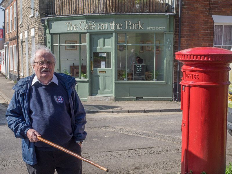
It was a lovely way to spend a morning with my grandson. Ending up with soup at Cafe on the Park. The Dust Hole was shut unfortunately. The directions were excellent until stand 8. After leaving Alms Houses we made our way to Culver Street but it was not clear enough whether to go through the car park or not. So we got in a bit of a muddle around that part. But amazing how much history we were shown in just a few streets. Thank you.
Congratulations on a brilliant website. It must have taken a lot of work but is really interesting and rewarding.
Thank you Mary. We have a fantastic team of volunteers who have spent a lot of time doing the website. We have all really enjoyed the journey of gathering all the local history and memories of the area and making it available to everyone.
Add a comment about this page